3D Layout Plan for Plotted Projects: A Complete Guide
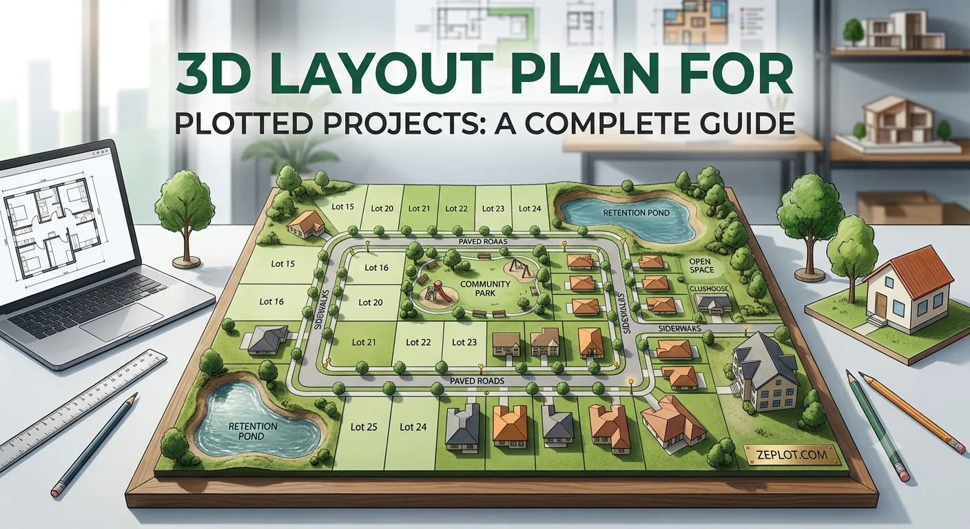
A 3D layout plan shows a plotted project the way a buyer would see it from above: plots, roads, gardens and amenity buildings in three dimensions, placed on the real land. For a buyer it answers in seconds what a 2D drawing takes a site visit to explain. This guide explains what a 3D plot layout is, when it helps, and how to get one for your project.
2D layout vs 3D layout plan
A 2D plot layout is a flat technical drawing: lines, numbers and notes, made for approval. A 3D layout plan uses the same drawing as its source but presents it visually:
- Depth and context. Roads, parks and amenity sites are shown as they will look, on top of a satellite picture of the actual site.
- Orientation. Buyers can rotate the view, see north and understand which way each plot faces.
- Interactivity. An interactive 3D layout planner lets buyers zoom in, tap a plot and see its number, size and status.
The 2D drawing stays the legal and technical reference. The 3D layout plan is the version you show buyers.
Why developers use 3D layout plans
Buyers understand the project faster
Most buyers are not used to reading technical drawings. A 3D view removes the need to explain what the lines mean, and questions like "where is the main road?" answer themselves.
Fewer wasted site visits
When buyers have already explored the layout, the site visit becomes a confirmation of a plot they chose, not the start of the conversation.
Live availability builds trust
A 3D plot map can colour every plot by status: available, booked, on hold or sold. Buyers see what is really free, and a few sold plots show that the project is moving.
It works where buyers are: on the phone
An interactive 3D layout plan opens from a link in the browser, so it can be shared on WhatsApp, in ads and through QR codes on hoardings, with no app to install.
Static 3D render or interactive 3D plot map?
There are two kinds of 3D layout plan:
- Static renders: images or a video of the layout. They look good in a brochure but cannot show which plots are still available, and every change means a new render.
- Interactive 3D plot maps: a live map buyers can explore. Plot status, prices and photos can change at any time without making a new file.
For selling plots over weeks and months, an interactive map is usually the better fit, because availability changes every week.
What you need to make a 3D layout plan
- Your approved layout as a PDF, DWG or DXF file. A clear image of the layout also works.
- The site location, so the layout can be placed on the satellite map.
- The current status of each plot: available, booked, on hold or sold.
- Optional: project details, amenities, photos and a brochure.
How the process works with zeplot
- You upload your layout on zeplot.com or send it on WhatsApp. An automatic check confirms it is a usable layout drawing.
- Every plot, road and amenity is drawn as its own shape with its number, area and measurements, and the layout is fitted onto the satellite view of your site.
- Within 48 hours you get one link and a QR code for your live 3D plot map.
- Your team marks plots booked or sold in the built-in admin, and the map updates for every buyer within seconds.
What a good 3D layout plan should include
- The layout placed accurately on the real satellite picture.
- Plot numbers that match your drawing and booking records.
- Plot area and side measurements on every plot.
- Status colours and a legend.
- Road widths, parks and amenity sites labelled.
- Search by plot number, and a way for buyers to send an enquiry.
- Fast loading on an ordinary phone connection.
Frequently asked questions
Is there a free 3D layout planner for plots?
General 3D design tools exist, but they are built for designers, not for selling plots: they do not handle plot status, enquiries or sharing with buyers. A plot-specific service saves the drawing work and adds those sales features.
Does a 3D layout plan replace the approved layout?
No. The approved 2D layout remains the official document. The 3D layout plan is a presentation of it for buyers.
Can I update the 3D layout plan after sharing it?
With an interactive 3D plot map, yes. Status, prices and photos change without a new link, so every buyer always sees the current version.
Want to see one? Open the live 3D tour on our home page, or read how a residential plot layout is designed.
Want to see your own layout like this?
Get StartedMore from the blog
How to Convert a PDF or DWG Layout Plan to 3D
How a plot layout in PDF, DWG or DXF becomes an interactive 3D plot map: the files you need, each step of the process, and common problems to avoid.
Read more →Plot Layout Plan: How to Design a Residential Plot Layout
A practical guide to plot layout design: plot sizes, road widths, open spaces, plot numbering and how to present the layout map so buyers understand it.
Read more →How to Sell Plots in Real Estate: 12 Ways That Work
Proven ways for land developers to sell plots faster: pricing, presentation, WhatsApp and digital marketing, brokers, site visits and follow-ups.
Read more →