Interactive Site Plan vs Virtual Tour: Which Sells Plots Better?
Developers who want to sell online usually hear about two tools: the virtual tour (a 360° walkthrough of a space) and the interactive site plan (a clickable map of the whole project). They are often confused, but they answer different buyer questions. This guide compares them, explains which suits plots, apartments, villas and resorts, and how they work together.
What is a virtual tour?
A 360° virtual tour stitches panoramic photos or renders into a walkthrough: buyers move from room to room or spot to spot and look around. Virtual tour software for real estate is excellent for showing what it feels like to stand inside a sample flat, a villa, a clubhouse or a resort cottage.
What is an interactive site plan?
An interactive site plan is a map of the whole project where every unit (plot, villa, flat or stall) can be tapped to see its number, size, price and availability. On a satellite view it also shows the roads, surroundings and how the project sits on the land. It answers the questions buyers ask before they care about the inside: where is it, which one is free, how big is it, what is next to it.
Side by side
| Virtual tour | Interactive site plan | |
|---|---|---|
| Shows | The inside of a space, as if standing in it | The whole project and every unit on it |
| Best for | Sample flats, villas, clubhouses, resorts | Plots, villas, layouts, townships, stalls |
| Availability | No | Yes, live status per unit |
| Unit details | Rarely | Number, size, facing, price |
| Location context | Limited | Satellite view, roads and surroundings |
| Enquiry for a specific unit | Usually general | Yes, tied to the unit chosen |
| Updates | Reshoot or re-render | Status and prices change instantly |
Which sells plots better?
For plotted projects there is no building inside to walk through, so a virtual tour has little to show beyond the entrance or a clubhouse. Buyers choose a plot by its position, size, facing, neighbours and availability, which is exactly what an interactive site plan shows. Use a virtual tour for the clubhouse or a model villa if you have one, and the interactive site plan for choosing the plot.
Apartments, villas and resorts
- Apartments: a virtual tour of the sample flat plus an interactive plan of towers and floors with available units.
- Villas: a virtual tour of a model villa plus an interactive site plan of villa plots.
- Resorts and venues: virtual tours of cottages and halls plus an interactive map of the property; see the resort master plan guide.
Interactive site plan software
Interactive site plans can be built from your approved layout (PDF, DWG or DXF). zeplot turns the layout into a live 3D plot map and interactive site plan on the satellite view within 24 hours: every plot with its number, area and measurements, colour-coded by status, opened from one link or QR code on any phone, with enquiries tied to the plot and status updates from the admin within seconds. See four ways to create a plot layout in 3D.
Frequently asked questions
What is an interactive site plan in real estate?
A clickable map of a project where buyers tap a unit to see its details and availability, often on a satellite view of the site.
Is a virtual tour worth it for plots?
Mostly for the clubhouse, entrance or a model house. For choosing a plot, an interactive site plan with live availability is more useful.
Can I use both?
Yes. Many developers link a virtual tour of the amenities from the interactive site plan, so buyers see the whole project and the experience.
Want to see your own layout like this?
Get StartedMore from the blog
Plot Layout Design Software: Free and Paid Options Compared
Plot layout and site layout software compared: CAD, free and online tools, 3D, and what to use for each job.
Read more →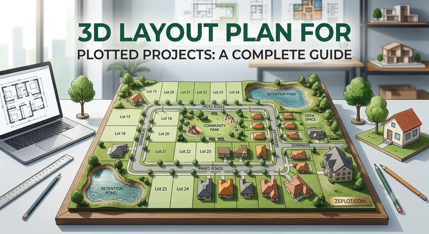
3D Layout Plan for Plotted Projects: A Complete Guide
What a 3D layout plan is, how it differs from a 2D plot layout, what it costs in time, and how to turn your existing layout PDF into a 3D plot map.
Read more →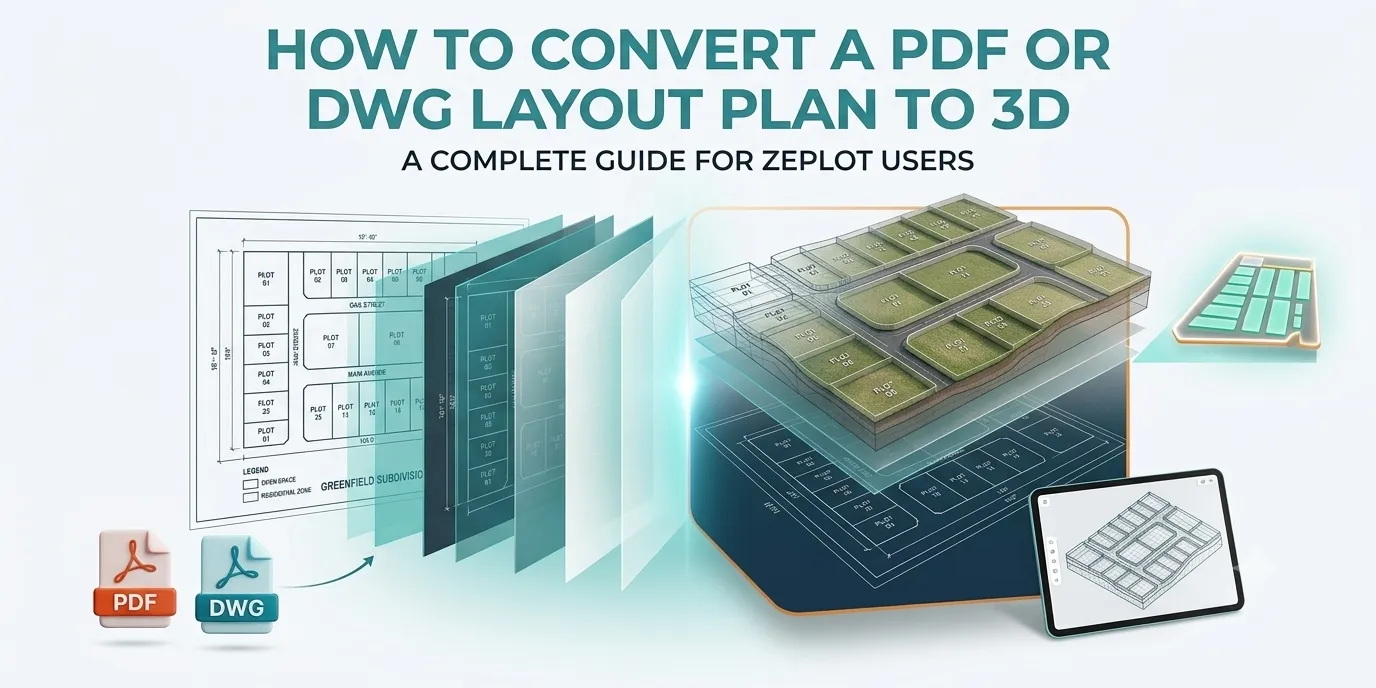
How to Convert a PDF or DWG Layout Plan to 3D
How a plot layout in PDF, DWG or DXF becomes an interactive 3D plot map: the files you need, each step of the process, and common problems to avoid.
Read more →