How to Create a Plot Layout in 3D: 4 Ways, Step by Step
You have an approved plot layout as a PDF or a CAD drawing, and you want buyers to see it in 3D: plots, roads and gardens on the real land, something they can understand on a phone. This guide explains how to create a plot layout in 3D, comparing the four practical ways to do it, with the steps for each, how long it takes, the skills you need, and the mistakes that make a 3D layout look wrong.
What you need before you start
Whichever method you choose, gather these first. Missing items are the most common reason a 3D layout takes longer than planned.
- The layout drawing. The approved layout as a DWG or DXF file is best, because it holds exact lines and measurements. A clear PDF or a high-resolution image also works.
- Plot numbers and sizes that match your booking records. The 3D layout must use the same numbers as your sale documents.
- The site location: a Google Maps pin or the corner points of the boundary, so the layout can sit on the real satellite picture.
- The north direction and scale, usually shown on the drawing.
- Road widths, open spaces and amenity sites (park, temple, community hall) and what each should look like.
- Plot status if you want to show availability: available, booked, on hold or sold.
Method 1: Build it yourself in SketchUp or Blender
General 3D software lets you model the layout by hand. It suits someone with design skills who wants a still image or a video.
- Import the drawing. Import the DWG or DXF (SketchUp Pro and Blender can both read CAD lines; a PDF must first be traced or converted). Set the units and check one known plot size against the drawing.
- Clean up the lines. Close every plot boundary into a separate face. Broken or overlapping lines are the main time sink.
- Give everything height. Raise plot faces a few centimetres, keep roads flat, add kerbs, and give the boundary wall and gate real height.
- Add materials. Asphalt for roads, grass for parks, a light colour for plots; add trees and street lights from a model library.
- Add plot numbers as 3D text on each plot.
- Render. Set the sun and camera angle, then export images or a fly-through video.
Time and skills: days to weeks for a layout with 100+ plots, and solid 3D modelling skills. Limits: the result is a picture. It cannot show which plots are sold, and every status or price change means editing and rendering again.
Method 2: Overlay the layout in Google Earth
A quick, free way to show the layout on the real land, though in 2D on a 3D globe rather than as a true 3D model.
- Open Google Earth Pro on a computer and find your site.
- Use Add > Image Overlay and choose an image of your layout.
- Lower the transparency and drag, stretch and rotate the corners until the layout's roads and boundary line up with the satellite picture.
- Tilt the view to see the terrain around the site, and save the result as a KMZ file to share.
Time and skills: an hour or two, no special skills. Limits: plots are not separate objects, so buyers cannot tap a plot, see its size or check whether it is available, and opening a KMZ file on a phone is awkward for most buyers.
Method 3: Hire a 3D rendering studio
Architectural visualisation studios produce polished renders and walkthrough videos of plotted projects.
- Send the layout drawing, the location, amenity details and reference images of the look you want.
- Agree on the views: an aerial view, the entrance, the park, a street view.
- Review a first draft (usually a plain model), then the final textured version.
- Receive images and a video for brochures, hoardings and ads.
Time: usually a few weeks, depending on the studio and the number of views. Limits: like Method 1, the output is fixed. It is excellent for a launch brochure but cannot tell buyers which plots are still free next month.
Method 4: Use an online 3D plot layout maker
A plot-specific service turns your existing layout into an interactive 3D plot map that buyers open from a link. This is how it works with zeplot:
- Upload the layout as a PDF, DWG, DXF or image on zeplot.com, or send it on WhatsApp. An automatic check confirms it is a usable layout drawing.
- Every plot, road and amenity is drawn as its own shape with its plot number, area and side measurements, and the layout is placed on the satellite view of your site.
- Gardens, roads and amenity buildings are given a 3D look, with trees, walking paths and a compound wall where the drawing shows them.
- Within 48 hours you get one link and a QR code. Buyers open it in the browser on any phone, rotate and zoom the layout, tap a plot to see its size, and send an enquiry for that plot.
- Your team marks plots booked or sold in the admin, and every buyer sees the change within seconds, with no new file to make.
Time and skills: no 3D skills; about 48 hours. Strength: it stays live, so availability, prices and photos are always current, and every enquiry arrives as a lead with the plot the buyer chose.
Which method should you choose?
- Only need launch images or a video? A rendering studio (Method 3), or SketchUp or Blender if you have the skills in-house (Method 1).
- Just want to check how the layout sits on the land? A Google Earth overlay (Method 2) is quick and free.
- Want buyers to explore the layout and see what is available, on their phones, for the whole selling period? An interactive 3D plot map (Method 4).
Many developers combine them: renders for the brochure and hoardings, and an interactive map as the link they share every day. For the bigger picture of what a 3D layout plan should include, see our complete guide to 3D layout plans.
Mistakes that make a 3D plot layout look wrong
- Wrong scale. If plot sizes in 3D do not match the drawing, buyers notice the moment they compare. Always check a few plots against the area statement.
- Layout not aligned to the land. A layout rotated a few degrees or shifted off the site makes roads run through fields. Align it to fixed points such as the approach road and boundary corners.
- Plot numbers that differ from the sale documents. Renumbering for the 3D version causes confusion at booking time.
- Too much decoration. Heavy trees and effects can hide plot numbers and make the map slow on phones.
- No north direction. Facing (east-facing, north-facing) matters to many buyers in India; the 3D view should make it obvious.
- A 3D file that never changes. If plots are sold and the 3D layout still shows them as free, buyers stop trusting it.
Frequently asked questions
How do I create a plot layout in 3D from a PDF?
Either trace the PDF into a 3D program such as SketchUp or Blender and model it by hand, or upload the PDF to an online 3D plot layout maker that converts it into an interactive 3D plot map for you.
Can I convert a 2D layout to 3D automatically?
Partly. Clean CAD drawings (DWG or DXF) convert most reliably because the lines are exact; scanned PDFs need more checking. A good service checks every plot number and size against your drawing before the map goes live.
Is there a free way to make a 3D plot layout?
Blender is free, and a Google Earth overlay costs nothing, but both take time and skill, and neither shows live plot availability or captures enquiries.
How long does it take to create a 3D plot layout?
From an hour for a Google Earth overlay to days or weeks for a hand-built model or a studio render. With zeplot, an interactive 3D plot map is ready in about 48 hours.
Ready to see your own layout in 3D? Upload your layout and we will send you a live 3D plot map, or first read how a residential plot layout is designed.
Want to see your own layout like this?
Get StartedMore from the blog

Plotting Business in India: How to Start, Approvals, Costs and Profit
How the plotting business works in India: buying land, approvals, development costs, profit margin and selling plots.
Read more →
Colony Layout Plan: Examples, Rules and How to Draw One
What a colony layout plan shows, typical plot and road sizes, layout examples, and how to get one drawn and approved.
Read more →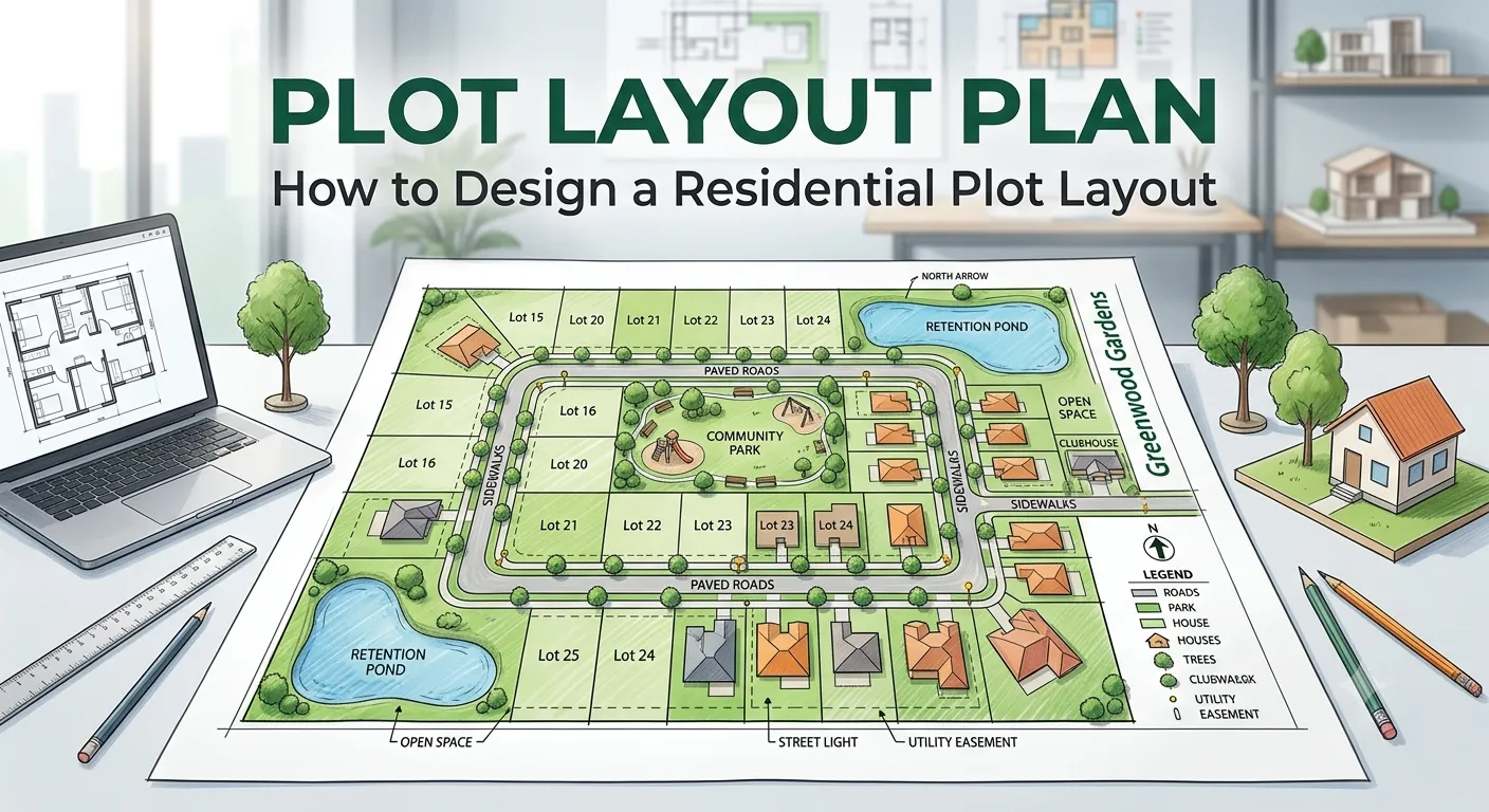
Plot Layout Plan: How to Design a Residential Plot Layout
A practical guide to plot layout design: plot sizes, road widths, open spaces, plot numbering and how to present the layout map so buyers understand it.
Read more →