3D plot map and interactive site plan for plotted projects.
Turn your layout PDF or CAD drawing into a 3D site plan buyers open from one link. Every plot on the real satellite view, with its size, price and live availability, on any phone. Live in 48 hours, and connected to your plotting CRM.
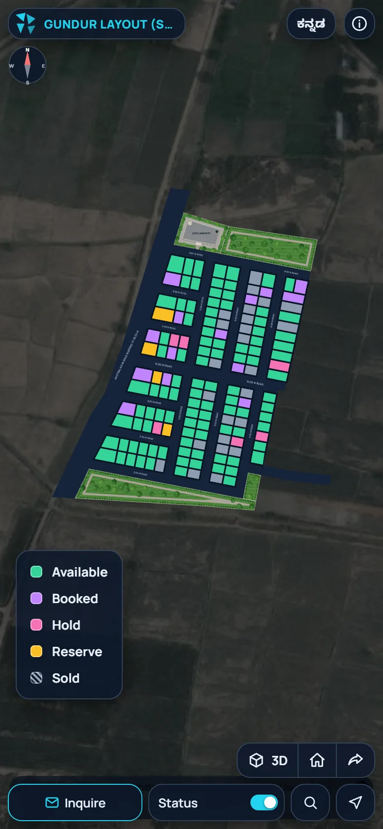
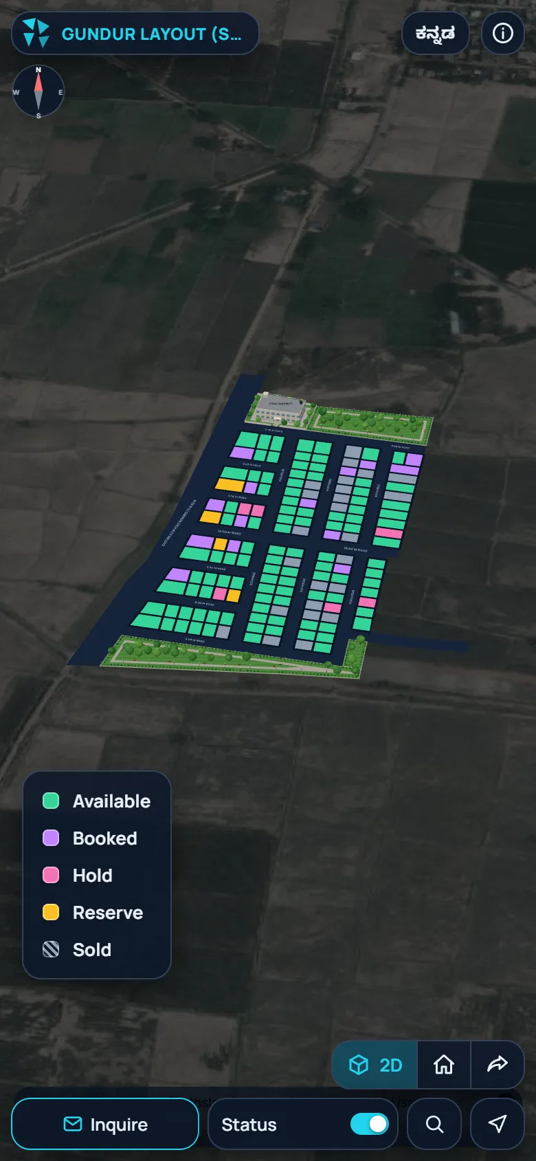
Your layout plan, in 3D on the real site.
Buyers see exactly where a plot is, which road it faces and what is around it, before the site visit. They switch between 2D and 3D with one tap.
- Satellite map in 2D, one tap to 3D: zoom, rotate and tilt with fingers
- Roads, open spaces and amenity sites drawn in, with a compass
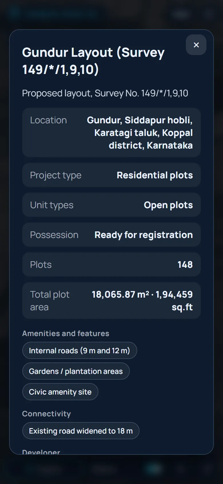
- Every plot: number, area in m² and ft², side measurements and price
- Search any plot by number, browse zones, locate yourself on the layout
Live plot availability, for every buyer.
The map is connected to your plotting CRM. When a plot is held, booked or sold in the office, it changes colour on every buyer's screen within seconds. No reprinted brochures, no outdated PDFs.
- Five statuses in colour: available, hold, reserve, booked, sold
- Prices shown only on plots still for sale
- Enquire in one tap: the enquiry reaches the CRM as a lead with the chosen plot
- Gallery, brochure and Google Maps directions to the site
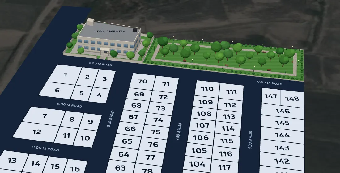
From layout PDF to 3D site plan.
You do not need a 3D site plan software, a designer or a new drawing. Send what you already have.
- 1
Send your layout
PDF, DWG, DXF or an image of the layout, survey map or master plan.
- 2
We draw it on the site
Every plot, road and amenity placed on the satellite view of your land.
- 3
Get one link and QR
Your 3D plot map, ready to share, with your plots loaded in the CRM.
- 4
Buyers explore and enquire
Statuses you change show up live; every enquiry becomes a lead.
3D plot map vs PDF layout, model and video.
How developers usually show a plotted project, and what a live 3D plot map adds.
| What buyers need | PDF layout | Physical model | Video walkthrough | zeplot 3D plot map |
|---|---|---|---|---|
| See which plots are still free | No | No | No | Yes, live |
| Tap a plot for size and price | No | No | No | Yes |
| Plot on the real satellite view | No | No | Sometimes | Yes |
| Open from a WhatsApp link | Yes | No | Yes | Yes |
| Send an enquiry for a plot | No | No | No | Yes, as a CRM lead |
| When a plot is sold | Reprint | Out of date | Re-make | Updates by itself |
Virtual site tours for real estate projects.
Layout developers
- Residential plotted layouts
- Townships and gated communities
- Phase-wise launches
- Pre-launch interest before site work
NA and farm-land plots
- Large plots far from the city
- Buyers who cannot visit often
- Roads and access shown clearly
- Use our plot area calculator
Brokers and channel partners
- One link to share with every buyer
- Tracked link for each broker
- Live availability, no wrong promises
- Enquiries credited to the broker
3D plot map, answered.
What is a 3D plot map?
A 3D plot map is your layout plan drawn as an interactive map on the real satellite view of the site. Buyers open it from a link, turn it to 3D, tap any plot to see its number, size, measurements, price and status, and send an enquiry. zeplot makes it from your existing layout drawing.
How do I convert a layout PDF into a 3D site plan?
Upload your layout on our home page or send it on WhatsApp. We draw every plot, road and open space on the satellite map of your site, and your 3D plot map goes live on one link, usually within 48 hours.
Which files can I send?
A layout PDF, a DWG or DXF CAD drawing, or a clear JPG or PNG image of the layout. Survey maps, site plans and master plans work too.
Is it an interactive site plan for the whole project?
Yes. The whole layout is one interactive site plan: plots, internal roads, open spaces and amenity sites, with zones, search by plot number and a project information panel.
Can buyers see which plots are still available?
Yes. Every plot is coloured by status: available, on hold, reserved, booked or sold. When your team changes a status in the CRM, the 3D map updates for every buyer within about 15 seconds, with no new link.
Does the 3D plot map work on mobile phones?
Yes. It opens in the browser of any phone, tablet or computer. Buyers need no app, no login and no download.
Can I share it on WhatsApp, ads and my website?
Yes. You get one link and a QR code for WhatsApp, ads, hoardings and brochures, and you can show it on your own website. Tracked links for each broker or campaign show which one brought each buyer.
Does zeplot design the layout?
No. We turn your existing, approved layout drawing into an interactive 3D plot map. We do not design or approve layouts.
See your layout in 3D.
Send your layout PDF and get a live 3D plot map your buyers can open in 48 hours.
Upload your layout