Plot Layout Plan: How to Design a Residential Plot Layout
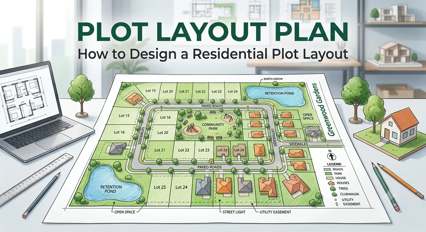
A plot layout plan is the drawing that divides a piece of land into individual plots, roads and common areas. For a land developer it is the most important document in the project: it decides how many plots you can sell, how easy they are to sell, and whether the layout gets approved. This guide walks through how a residential plot layout is designed, what a good plot layout map must show, and how to present it to buyers.
What a plot layout plan includes
Whatever the size of the project, every residential plot layout drawing shows the same core elements:
- The site boundary with survey numbers and the total land area.
- Individual plots, each with a plot number, dimensions of every side and the plot area.
- Internal roads with their widths, and the connection to the main approach road.
- Open spaces such as gardens and parks, and amenity sites for a community hall, temple, school or utilities.
- The north direction, a scale, and an area statement (a table of total, plotted, road and open-space areas).
Step 1: Start from the site survey
A good layout starts with an accurate survey of the land: the boundary, its levels, existing roads, trees, water channels, electricity lines and neighbouring plots. Mistakes at this stage multiply later, because every plot is measured from these lines. Get the survey done by a licensed surveyor and make sure the survey numbers and area match the land records.
Step 2: Check the local rules before drawing
Each state and planning authority sets its own rules for plotted development: the minimum plot size, minimum road widths, the share of land that must be kept as open space and amenity sites, and setbacks. These rules change what you can sell, so read the current development regulations of your authority (for example the town planning department or development authority for your area) or ask your architect before the first sketch. This guide gives general principles, not the rules of any particular state.
Step 3: Plan the road network first
Roads are the skeleton of the layout. Plan them before the plots:
- Keep the main internal road in line with the main approach road so the entrance is clear.
- Use a simple grid where the land allows. Buyers find grid layouts easy to understand and plots on a grid are easy to measure.
- Avoid dead ends where possible; if you need one, give it a turning space.
- Wider roads usually sell better: a plot on a wide road is easier to reach and easier to build on.
Step 4: Divide the land into plots
With the roads fixed, the blocks between them are divided into plots. A few principles make plots easier to sell:
- Regular shapes. Rectangular plots are easier to build on and to value than odd shapes. Push irregular corners into open space or amenity areas.
- Sensible depth. Very deep, narrow plots are hard to design a house on. Match plot depth to the plot widths buyers in your area expect.
- A mix of sizes. Offering two or three plot sizes widens your buyer base, from first-time buyers to families looking for larger plots.
- Premium plots. Corner plots, plots facing a park and plots on the widest road can carry a higher price. Plan them deliberately.
Step 5: Add open spaces and amenities
Parks and amenity sites are not just a rule to satisfy. Buyers look for them, and a garden in the middle of the layout raises the value of the plots around it. Place open spaces where most plots can see or reach them, not only in the leftover corners.
Step 6: Number the plots clearly
Plot numbering sounds minor until a buyer cannot find plot 47. Number plots in a logical order along each road, keep numbers readable on the drawing, and use the same numbers everywhere: on the layout, in brochures, in your booking records and on site boundary stones.
Step 7: Prepare the area statement
The area statement summarises the layout in a table: total site area, area under plots, roads, open spaces and amenities, and the number of plots. Approval authorities look at it first, and it is a useful check that nothing on the drawing was forgotten.
How to present a plot layout map to buyers
A layout drawing made for approval is not the best way to sell plots. Buyers struggle with small text, survey notations and drawings without context. When you share the layout:
- Show the layout on a satellite map so buyers see the main road, nearby villages and landmarks.
- Mark which plots are available, booked and sold, and keep it up to date.
- Show each plot's size, facing and road width clearly.
- Make it work on a phone, because that is where most buyers will look at it.
An interactive 3D layout plan does all of this in one link. With zeplot, you send your approved plot layout PDF, DWG or DXF and get a live 3D plot map on the satellite view within 48 hours, with plot status that updates as you book plots.
Common plot layout design mistakes
- Designing plots before fixing the roads.
- Leaving awkward leftover pieces that cannot be sold or used.
- Plots that are too deep and narrow for a practical house.
- Inconsistent plot numbers between the drawing, brochure and booking records.
- Sharing only a flat PDF that buyers cannot read on a phone.
Frequently asked questions
Who prepares a plot layout plan?
A licensed architect or town planner usually prepares the layout, working from a surveyor's site survey, and submits it for approval to the local planning authority.
Can I make a plot layout design online for free?
Free drawing tools are fine for a rough sketch to discuss ideas, but the layout you submit for approval and sell from should be prepared by a professional, to scale, from an accurate survey.
What is the difference between a site plan and a plot layout plan?
A site plan usually shows a single plot or building on its land. A plot layout plan shows how a larger piece of land is divided into many plots with roads and common areas.
How do I show my plot layout to buyers online?
Turn the approved layout into an interactive map that opens from a link on any phone, with each plot's number, size and availability. zeplot does this from your existing layout PDF.
Want to see your own layout like this?
Get StartedMore from the blog
Documents to Check Before Buying a Plot in India (Checklist)
A plot buying checklist: the land and layout documents buyers ask for, what each one shows, and how developers can have them ready before the first visit.
Read more →Plot Site Visit Checklist: What to Check on the Land
A practical site visit checklist for plots: access road, boundaries, measurements, drainage, utilities and surroundings, plus how developers can prepare every visit.
Read more →3D Layout Plan for Plotted Projects: A Complete Guide
What a 3D layout plan is, how it differs from a 2D plot layout, what it costs in time, and how to turn your existing layout PDF into a 3D plot map.
Read more →