Colony Layout Plan: Examples, Rules and How to Draw One
A colony layout plan is the drawing that divides a piece of land into residential plots, internal roads, parks and common areas for a new colony or residential layout. It is the plan the planning authority approves, the map buyers choose their plot from, and the reference for every sale deed. This guide explains what a colony layout plan shows, typical sizes, common layout patterns, and how to get one drawn and approved.
Colony layout kya hota hai?
Colony layout ek naksha hai jismein zameen ko plots, sadkon, park aur common jagah mein baanta jaata hai. Har plot ka number, size aur area likha hota hai, aur isi naksha ko authority approve karti hai. Isi ko land layout plan, NA plot layout ya residential plot layout bhi kehte hain.
What a colony layout plan shows
- The site boundary with survey numbers and the total area.
- Every plot with its number, side lengths and area.
- Internal roads with widths, and the connection to the main road.
- Open spaces and parks, and amenity sites (community hall, temple, school, shops, utilities).
- The north arrow, scale and an area statement (land use table).
- Approval details once approved.
Typical sizes in a colony layout
Minimum plot sizes, road widths and the share of open space are set by each state's planning rules and differ widely, so treat these only as a guide to what is common in Indian residential layouts and confirm the rules for your area:
- Plot sizes are often based on familiar dimensions such as 30 × 40 ft (1,200 sq ft), 30 × 50 ft, 40 × 60 ft or 50 × 80 ft, sized to what local buyers can afford.
- Internal roads are wider for the main spine road and narrower for short local streets.
- Open space and amenities are reserved as a share of the total land, as the rules require.
Use our plot area calculator to convert plot sizes between sq ft, gaj, sq m and acres.
Common colony layout patterns
Grid layout
Straight roads crossing at right angles, with rectangular blocks of plots between them. Easy to measure, easy for buyers to understand and efficient with land. The most common pattern for plotted colonies.
Spine road with side streets
One wide main road runs through the site, with shorter streets branching off. Works well for long, narrow land parcels.
Central park layout
Plots are arranged around a central park or open space, so many plots get a park view. Park-facing plots can be priced higher.
Cul-de-sac or gated cluster
Short dead-end streets with a turning space, often used in gated layouts for quieter streets. Needs care so emergency vehicles can turn.
How to get a colony layout plan drawn
- Get a survey of the land by a licensed surveyor: boundary, levels, existing roads and features.
- Check the planning rules for your authority: plot sizes, road widths, open space and setbacks.
- Have an architect or town planner draw options in CAD, then choose the one that gives a good mix of plot sizes and an easy road network.
- Prepare the area statement and plot schedule.
- Submit for approval with the land documents, and register the project under RERA where required before selling.
For the full design process, read our guide to designing a plot layout plan.
Colony layout plan PDF
The approved layout is usually shared as a PDF. Export it from the CAD drawing so it stays sharp when zoomed, and include the area statement and plot schedule. Remember that a PDF cannot show which plots are sold. To share a version that stays current, you can create the colony layout in 3D as a live map with plot status, which buyers open from one link.
Frequently asked questions
Where can I get a colony layout plan PDF?
For your own project, from the architect or surveyor who drew it, or from the approval documents. For an existing approved colony, the local planning authority or the developer's sales office can usually provide the approved layout.
Who approves a colony layout plan?
The local planning authority for the area, such as the town planning department, development authority or municipal body, depending on where the land is.
What is the difference between a colony layout and a site plan?
A colony layout divides land into many plots, roads and common areas. A site plan usually shows a single plot with the building placed on it.
Want to see your own layout like this?
Get StartedMore from the blog

How to Create a Plot Layout in 3D: 4 Ways, Step by Step
Four ways to create a plot layout in 3D from your PDF or DWG, with steps, time, skills needed and the mistakes to avoid.
Read more →
Plotting Business in India: How to Start, Approvals, Costs and Profit
How the plotting business works in India: buying land, approvals, development costs, profit margin and selling plots.
Read more →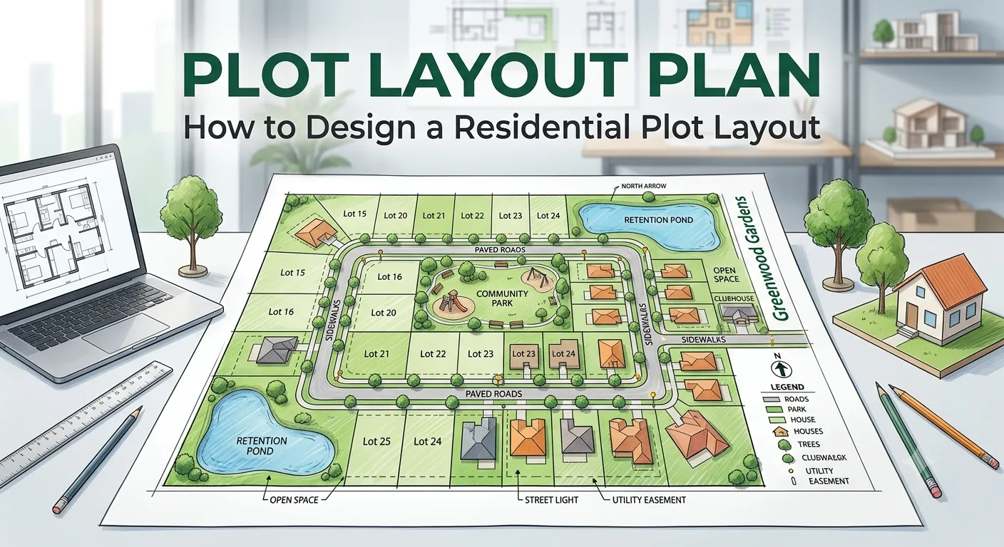
Plot Layout Plan: How to Design a Residential Plot Layout
A practical guide to plot layout design: plot sizes, road widths, open spaces, plot numbering and how to present the layout map so buyers understand it.
Read more →